Document Actions
gvSIG-Desktop 1.1. Manual de usuario.
Manual de usuario - Herramientas de Geoprocesamiento - Intersección - Ejecución del geoproceso 'Intersección'
After selecting the "Intersection" geoprocess, the following dialogue appears:
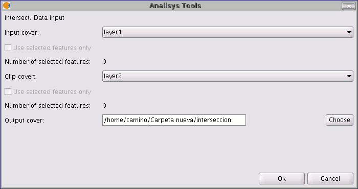
Select the input layer and the overlay layer. You must also specify a file in which to save the results. Finally, click on "Ok" and the geoprocess will be run.
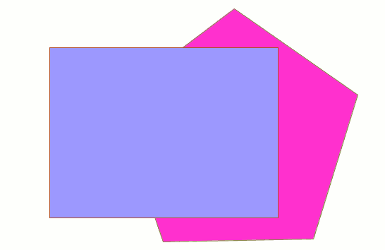
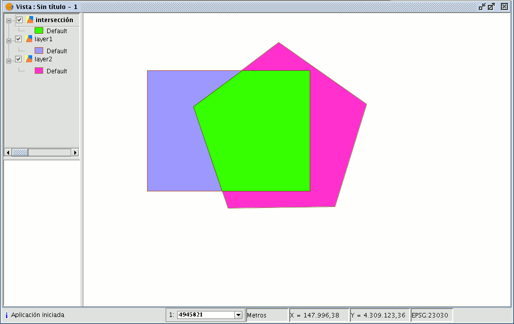
In this case, we will use a very simple example to better understand the function of the geoprocess. The previous figure shows two overlaying polygons. The result of launching the “Intersection” geoprocess with these layers as parameters is as follows: